


 The first thing you need to remember when looking at the new 2009 Capitol Hill walking map put together by the hill’s chamber of commerce and community newspaper Capitol Hill times is that it’s not designed for you — it’s designed for people from far away places like Madrona.
The second thing you need to remember is that somebody decided that the map should be oriented with west at the top of the map. That’s the place you normally put north.
The third thing to remember? I sold out and became part of the establishment 13 days ago and joined the chamber. So if you’re gonna make fun, you gotta be nice or I’ll be shunned at the next meeting. OK, more shunned.
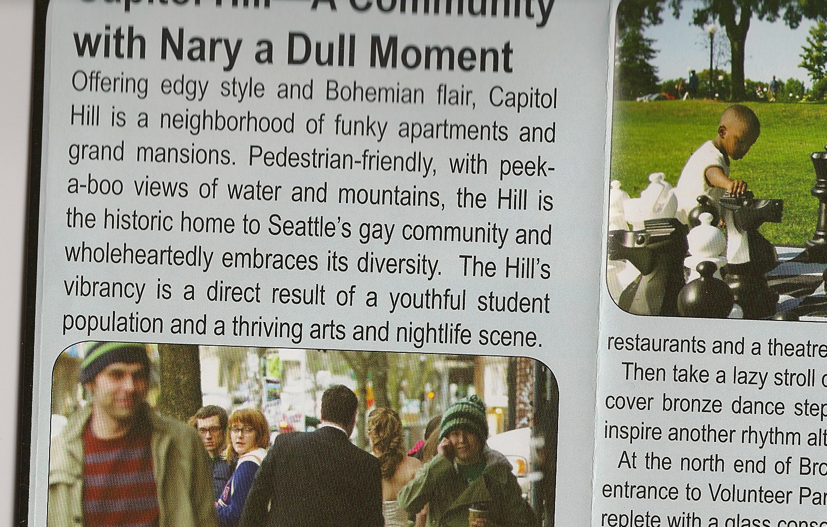
As for the Nary a Dull Moment line, I can offer no excuses.
You can find the maps starting Wednesday at various Capitol Hill Chamber of Commerce businesses.
It looks like they accidentally misnamed the as of now unconstructed park at Summit & John. (Nice to see it there on the map, though!)
Pretty funny. The “Thomas St” park is probably the one on Thomas St – duh.
Also kind of odd how they cropped out the North part of Capitol Hill but included so much of First Hill. Maybe none of the businesses up by Roy joined the Chamber
Why is it the Thomas street mini park when it’s on the corner of John and Summit? I vote we call it the mini John St. Park(ing lot).
West up? I would have put east up if anything. I always think of Cap Hill as east up because east is uphill between I-5 and 15th.
17th Ave isn’t a street between Pike and Union because TT Minor (conveniently marked on the map) is there.
http://maps.google.com/maps?q=1700+E+UNION+ST.+Seattle,+WA+98122.&ie=UTF8&oe=utf-8&client=firefox-a&ll=47.613989,-122.310169&spn=0.00187,0.004141&t=h&z=18
(though I guess you can walk through the playground so it’s technically ok on a walking map)